Well, we are gradually making our way out of Portugal and we have left, what we thought were going to be the best walks, to the end, because of their length and because of their location, inland and close to the mountains.
Today, we are in Casas Baixas, a village located in Serra do Caldeirao, an area which is far away from the holidays resorts. Therefore an unspoilt, rural and isolated area but nonetheless peaceful, authentic, untransformed. Maybe the walks will get more interesting from now. We also have the advantage that they are regional and national routes, well-marked, not Julie’s walks. So it is a double-bonus.
We arrived at Casas Baixas last night. The tarmac road wasn’t great. Narrow, bumpy with holes caused by the rough weather. Steep climbs and sharp bends make Dora slow down. All her cutlery and crockery seemed to be crashing inside the cupboards. She is not liking this journey a bit.
We found an esplanade, flat and smooth outside the village.
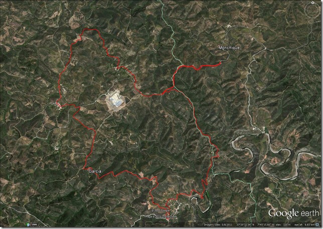
Today, two more walks: a long one, 16.9 kms, estimated time 6-7 hrs; and a short one, 5 kms, estimated time, 2 hrs.
The long walk is called D. Quixote and it follows the PR1, a well-marked regional route. D. Quixote is a comical Spanish fictional character who wandered the landscape in the middle ages. I am not sure why this route has been given his name. Perhaps he was here pursuing adventures? I have read the book, don’t remember him travelling that far down the Iberian peninsula. Anyway, I am sure we will find out, or not!
There is another route around this area, the PR3, which overlaps with the PR1 and it is much shorter, so we won’t bother with this one. Although we may do some detours it to extend our route – just in case we think 16.9 kms is not long enough ![]() .
.
Early start for us, it is 9.15 am and we are all ready to go. As we tend to do these walks in 60% of the estimated time, we reckon we are going to be back at 14.15 so we are not carrying lunch, we will be walking light.
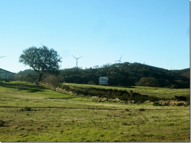
We leave Dora in this beautiful spot and head off to the start of the walk.
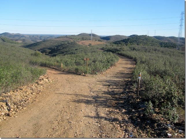
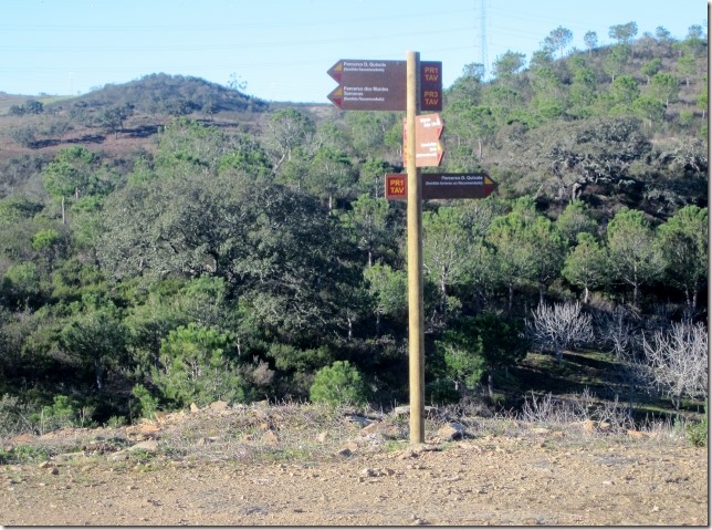
We soon reach the junction where the PR1 and PR3 crosses. PR1 route goes off to the right.
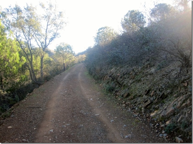
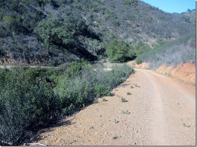
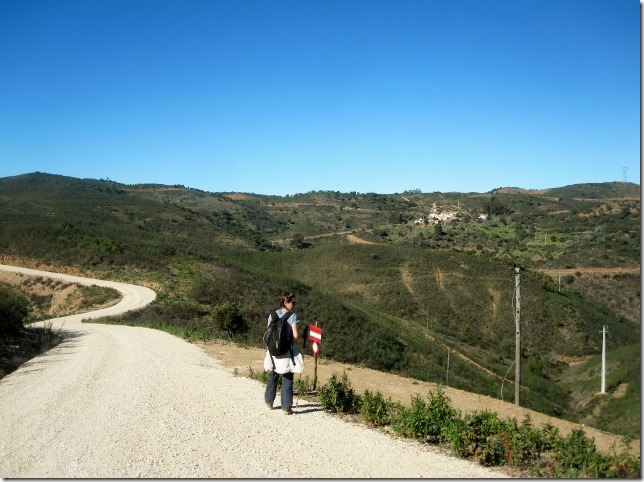
Again, 4×4 unpaved tracks. Boring!
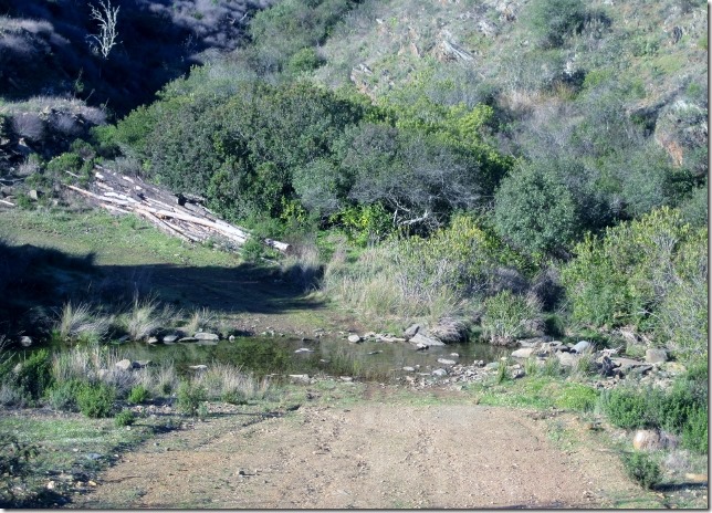
The track drops gradually down to a small, shallow stream. We hope Gary doesn’t have any difficulty in crossing this one without getting wet feet!
A bit further up, the the PR1 route crosses with the PR3 again. The former, goes off to the left directly to the village of Amoreira. The latter goes on a bit further north around the hill. The detour doesn’t seem to be very long, it may take us through a wilder and isolated landscape. So we take it.
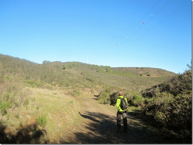
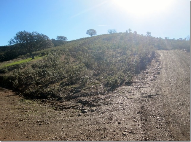
The track continues steadily upwards.
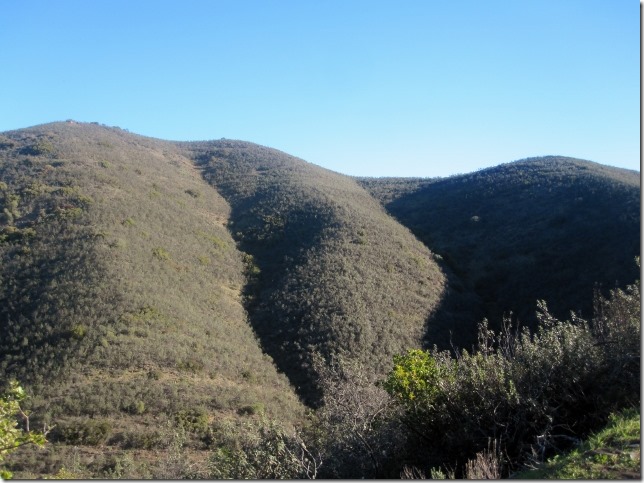
Opening up to a vast landscape on our left hand site.
After fifteen minutes, the PR3 reaches the village of Amoreira where it joins our route.
The PR1 now goes off left to the village.
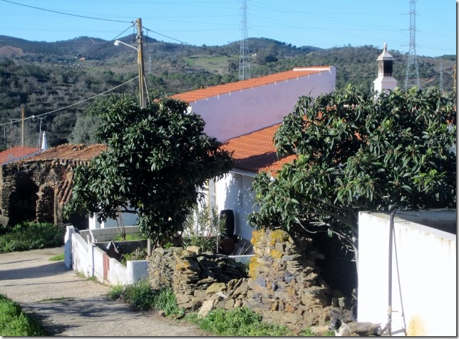
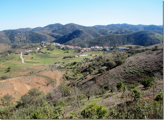
Smaller than a village, it looks rather like a hamlet of houses, the same style as most of the villages we have come across over the last couple of days in this part of Portugal; rural, backwards, harsh, isolated…Big contrast with the towns and villages on the coast. It seems we are now in a different country.
Through the village, we take a narrow footpath which crosses citrus plantations. Gary is hoping to see a wild lemon tree so he can get lemons for his dinner tonight. He is cooking fish.
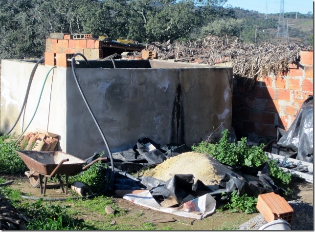
Farmers pile up their tools careless outside their houses. Not very tidy, what for? for who? The village doesn’t get many visitors. You can tell by the looks we get from the locals. I wonder when was the last time they saw a foreigner.
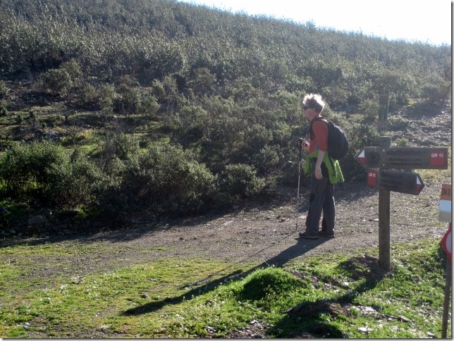
Outside the village, a sign points to the GR13. The PR1 continues straight ahead on a narrow footpath, through loads of shrubbery.
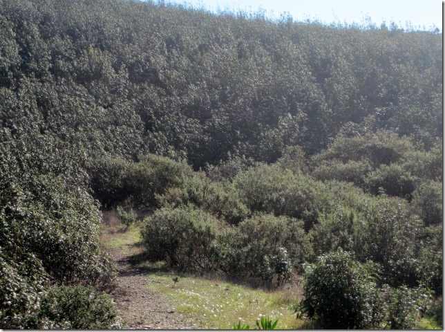
Walking on this path is much harder. The vegetation is quite dry, even at this time of the year. We continue to be surrounded by pine trees, eucalyptus and wild herbs similar to rosemary and thyme. The smell becomes more intense as the day gets hotter.
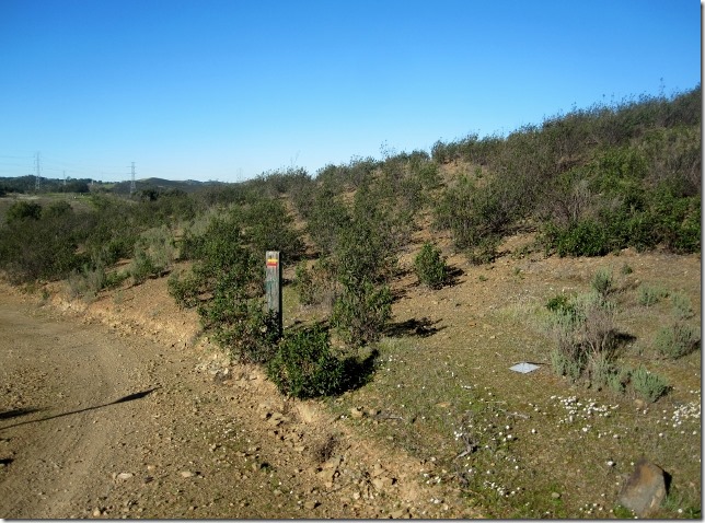
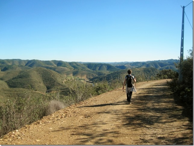
We leave the narrow path and go back to the normal wide unpaved track, clearly marked with the yellow and red slashes of the PR1. We are not expected to have any difficulty today in following this route.
At a fork, we turn right.
To eventually reach a paved road. We turn left.
We have been walking on this road for quite a while and have not seen any marks. We better not follow Julie’s description of this walk.
According to her, we should cross the road. No we shouldn’t, at least if we follow the route marks. Also, she says that, at this point, we would be walking surrounded by all different sorts of trees. We haven’t seen any yet.
Half an hour has gone by and no signs of any marks. At this point we decide to turn back. We both get quite annoying with each other, we must avoid making these mistakes. As soon as we have doubts, we should turn back. It is okay in walks like these, we know we are still going to get back in daylight. However, these errors could be lethal in mountains walks.
We go back to the point where we saw the last mark. There are three unpaved tracks going off to the right but no indication of any turning. We walk on each of the tracks, up and down, still no marks. It is weird. The route has been so well marked all the way.
Suddenly, on the unpaved track that runs parallel to the road, we see a very faint yellow and red mark. Is it a proper mark or just the natural colour of the rock? A more obvious mark a bit further on, on the left hand side. Yes, this is the right track and it follows the general direction south east dropping gradually to the Odeleite river.
It is now 11.00am, we have been walking one hour and a quarter but we have wasted half an hour by making this stupid mistake.
The path becomes regular and more obvious.
We should be dropping down the valley towards the river but not quite yet. We keep an eye on the marks, which are now more frequent and obvious.
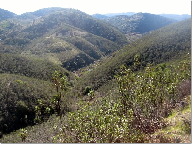
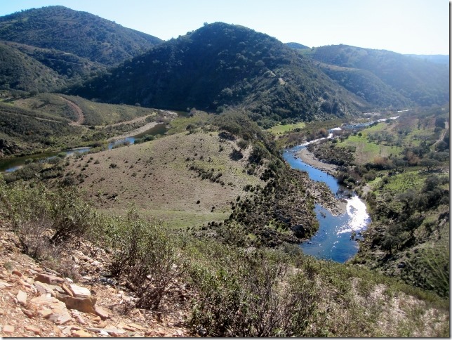
The path starts snaking its way down to the river. We have just passed a set of beehives. The landscape changes. A new valley opens up to our right, covered with wild deep green and dense vegetation. Not all the replanted, foreign eucalyptus and pine trees.
We leave our favourite valley behind and start getting to see the river from where we are. Now we make an U-turn and cross a small stream.
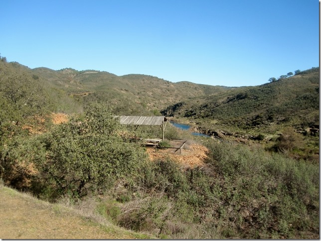
A bit further up, before the track bends up to the right, we come across a set of picnic tables. It is 11.45 and we have done 11.5 kms. This means that we have been walking at a speed of 4.6 kms per hour. Not bad.
I get closer to the sign board next to the picnic tables, which describes the different routes you can attempt around this area. Guess what they say about the D. Quixote route: ‘This route is characterised by its hardness. It is the longest route: 17 kms. Walkers are advised to wear good walking boots and carry plenty of water, especially if the route is attempted in summer’.
They make a bit of a fuss about this route to be honest. Yes, it is long but, other than that, it is not particularly challenging. One thing I would agree with them though, it is not a route to undertake in summer. It is January now and already too hot. Imagine what this could be like in July!
The path starts climbing up slightly. In the distance we see a village in the distance. Will we go through it? The river is still following with us on our left hand side.
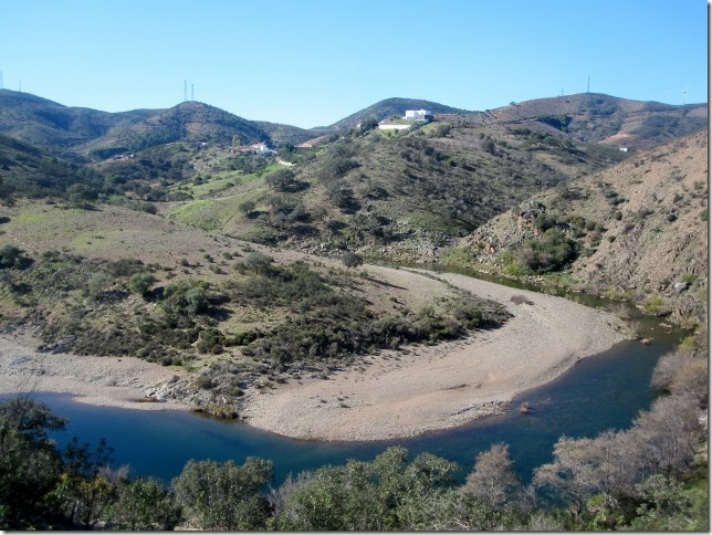
Nice horse shoe shape of the river from here. I take a photo before it definitely disappears south. We continue south west.
After a steady climb, we drop down to cross a stream before climbing up again to the village of Grainho.
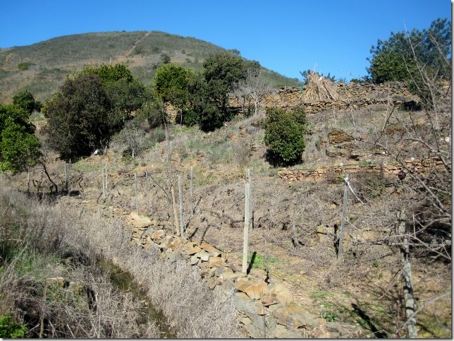
At either side of the stream, farm fields cultivated with vines, olive trees, orange and lemons.
At soon as we reach the edge of the village we turn right. Now our track becomes unpaved. It is 12.05.
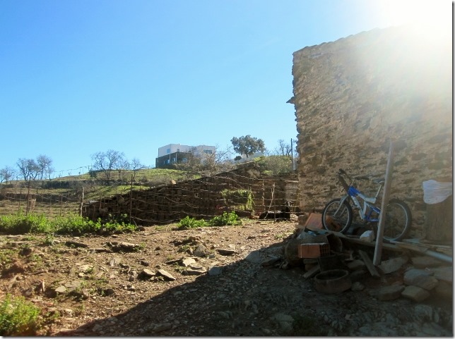
Very weird view of the rural, collapsing houses on the right hand side and a modern building shinning on the horizon. I wonder who has decided to build such a modern building in the middle of nowhere. Some sort of crazy architect???![]()
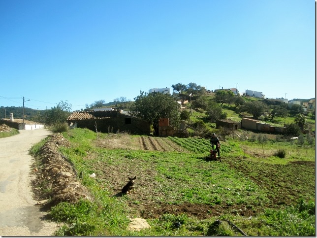
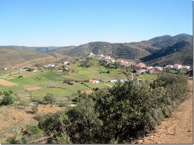
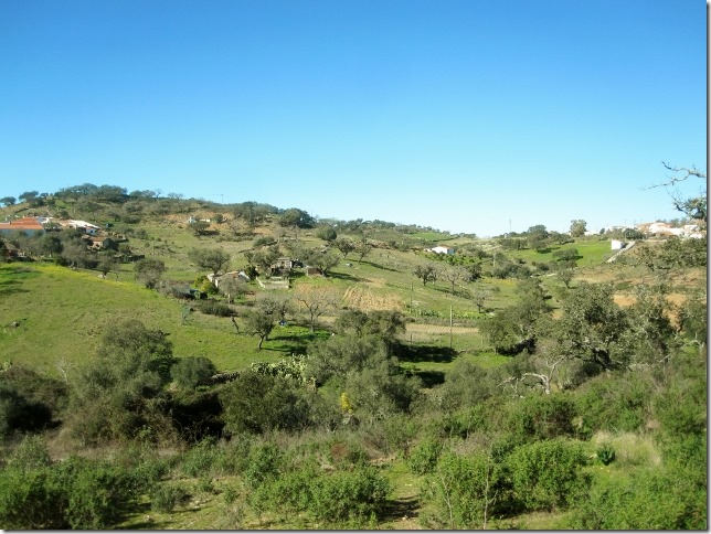
The surfaced road drops down to a sort of plateau of farm fields surrounding by hills. This is actually a very beautiful place. The farm fields are small but the crops cultivated here are so varied. We can spot cabbage, potatoes, citruses trees, vines, broccoli…
A farmer ploughing his field, even on Sunday. There is no rest for farmers!
Quite weird. According to Julie’s description of this walk, as soon we enter the village we would enjoy panoramic views of the village. Nothing so far, we have been walking around the village, so no panoramic views. Once more, we ignore her.
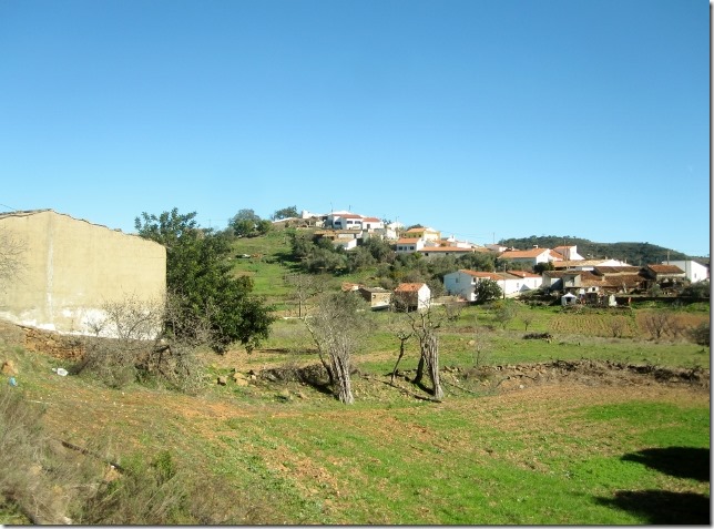
Our surface road meanders its way out of the village. Now we become aware of its scale. As all the villages around this area of the Algarve, very small.
A junction of three roads. Turn right towards Passafrio and Garcia. it is now 12.20, we have been walking for three hours.
The path climbs up steeply but relentless. No rest for our bodies.
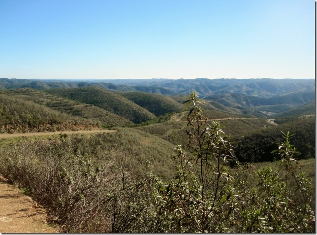
Wow, now we see these panoramic views that Julie is talking about in her description. She has missed substantial details of this walk and some of it is in the wrong order. Has she actually been here?
We leave the village of Grainho behind. The landscape around this village is absolutely beautiful. Whoever has decided to live in that modern building we saw earlier has made the right choice.
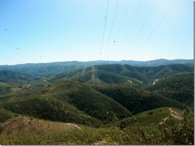
Further up, you go under two big set of pylons. We continue to go up. Very tiring.
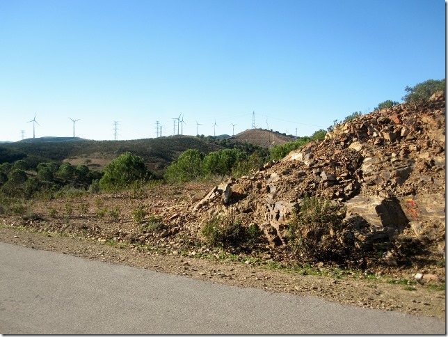
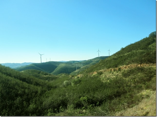
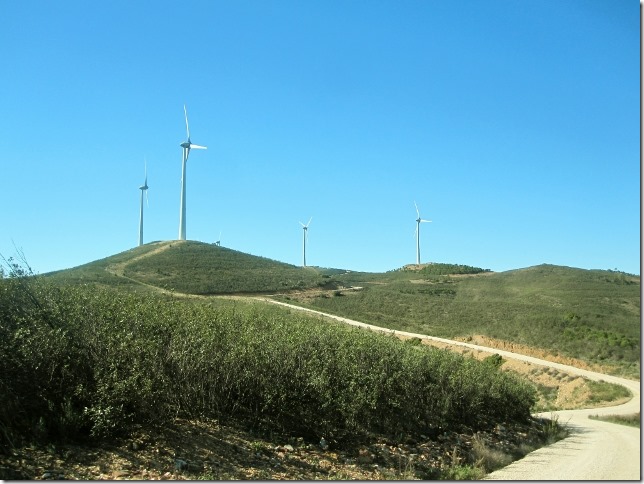
We eventually get to the top of this climb. Here, a line of wind turbines have been set up along the crest of this hill.
A surface road goes off to the right towards to the wind turbines. A bit further down, an unpaved track joins us from the right. Our road continuous straight ahead.
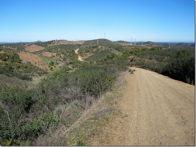
The route snakes its way up to the left and, on the crest of the hill we see on the horizon, we can see windmills. I am actually disappointed with these windmills. One of the most famous adventures of D.Quixote’s is its fight against imaginary giants, which turned out to be windmills LINK. These are the type of windmills I expected to see on this walk, as it has been named D.Quixote. But they are not, they are the typical Portuguese landscapes we have been in all our routes over the last couple of days.
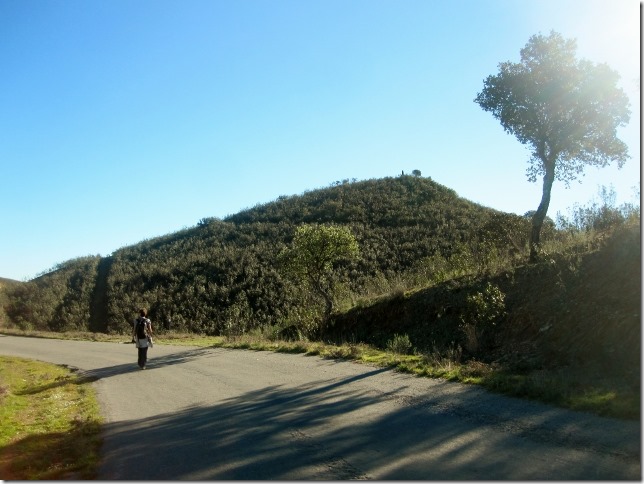
Walking along this ridge is quite a relief walking. We have been climbing, relentless, for 45 minutes, since we left Gainho.
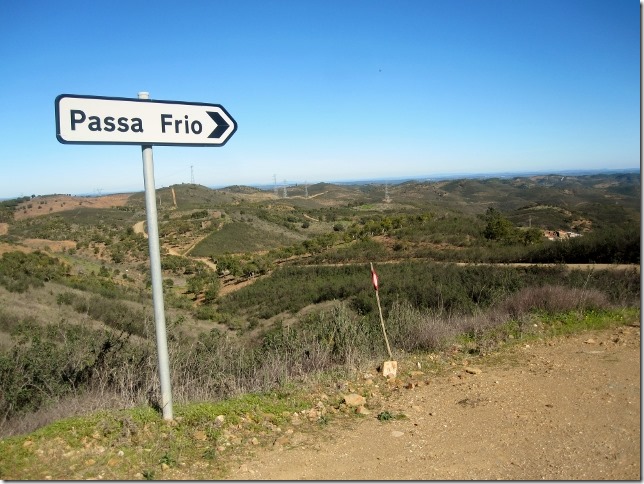
We soon drop down and see a sign pointing to the right towards the village of Passa Frio. The PR1 follows this route, so we turn right.
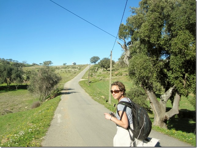
We are now walking again on an unpaved track. It continues straight leaving the village of Passa Frio on our right hand side.
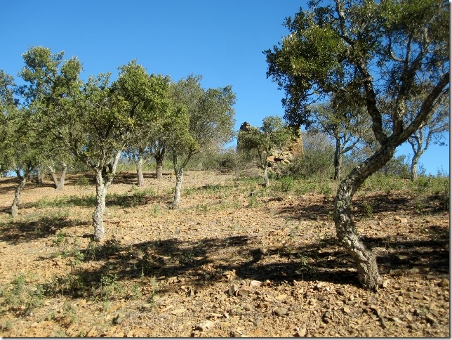
As we leaving the village the track goes through a big village of cork trees. By now we know the significant of these trees to the local economy; their bark is used for making wine corks; their acorns are used to feed cattle; their timber is used to make furniture and accessories such as bags, belts and hats. We saw an artisan shop a few days ago which was selling these articles. Quite cool, although a little bit impractical for the rain. I bet they also get dirty quite quickly.
It is 13.25. We come across a junction of tracks. We turn right towards the village of Casas Baixas, our final destination. The edge of the village revealed in the distance, although we cannot yet see Dora.
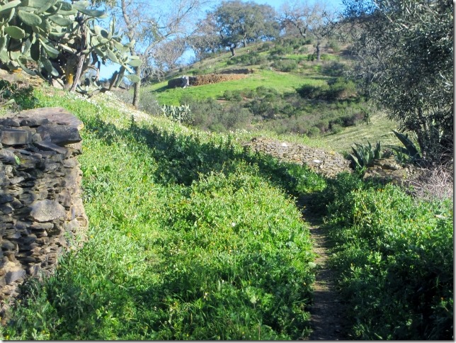
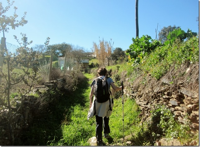
We walk along a surface road for about ten minutes. Then turn right onto to an overgrown, narrow path. Cross a small stream, turn left and walk along the same type of path fenced by stone walls.
13.40 and we reach our final destination. We have walked 21kms in four and half hours! We really don’t understand how you can make this walks into 7 hours. Seriously, you don’t need to be an experience trekker to complete it, simply be prepare for a long walk.
Now, time to have lunch on this beautiful meadow before doing our next, this time much shorter walk, this afternoon.
SM



Pobre Dora se queda tan sola en medio de la pradera!!!!!!!!!!
La verdad si llama la atención , leer D. Quijote por la zona de Portugal,
No todos llevaran el mismo paso que vosotros en las excursiones, creo que yo necesitaría siete horas o alguna más .