We stayed the night in Navalguijo. We got here quite late, but did have a brief wander round.

Deserted is putting it mildly. Apart from the obligatory old man stoking a bonfire and a plague infested dog barking his head off the village was quiet.
We start the trek at 9 o’clock after a quick breakfast courtesy of Lidl. Nice simple food, muesli coffee and toast, after the excesses of the holiday season. It is nice to get back to our sense of normality.
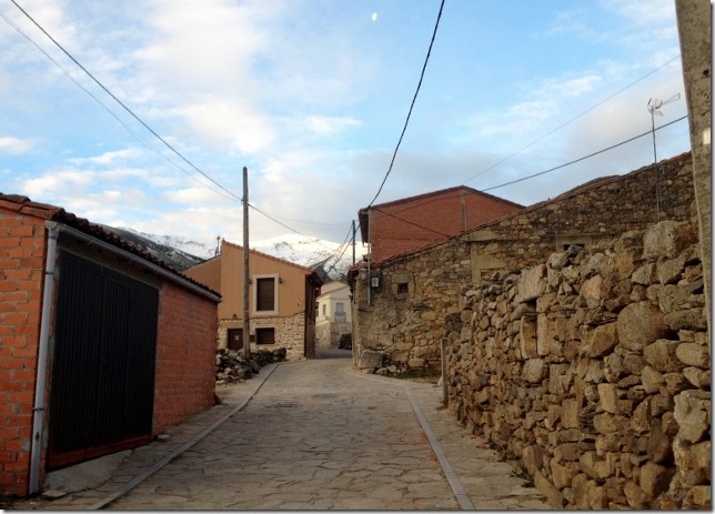
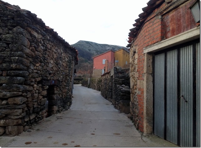
The village has just two streets. The buildings look part finished. Loosely stacked stone on stone. No grout and no render. Don’t lean against the building, it might fall over. To say the village needs renovating is an exaggeration. The village needs demolition.
The village is dying. It will be abandoned within a decade. We see no young people at all. This is far worse than Guisando.
Only every third building looks occupied. The others are either deserted or being used for storage. We love it though. One building is for sale and Susana looks at it keenly.
No way, I drag her onwards. There is no shop and no bars, not even a church. How would we spend our Sundays?
We head up through the main street, Calle Navalguijo, they got creative with the naming their. We reach a brightly coloured of buildings, one terracotta, the other yellowish. A small fountain guggles away. A signpost gives directions to the left. The PV-40 towards a lake 5 hours away, Lago de los Caballeros.
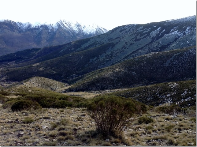
Ahead of us is a cirque of mountains and ridges. Unusually for a walk, you can pretty much work out the entire route at the outset. We discuss this. Is it better to explore, not to know. I am not sure what is more exhausting. If you don’t know how far you have yet to travel, or you do, but the destination is still far off.
We turn right. We are facing the edge of the village, beyond a small hill scattered with boulders, just like Predriza. I hope this walk isn’t similar! Two smarter buildings, some of the few that have been renovated are ahead of us. They are Casa Rurales. Country houses for rent. We pass up the side of them, to the left and head out of the village.
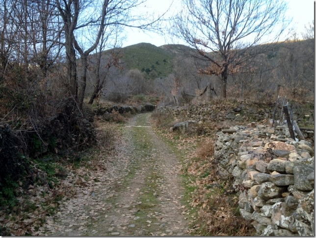
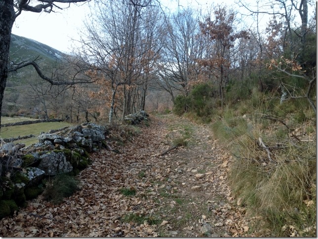
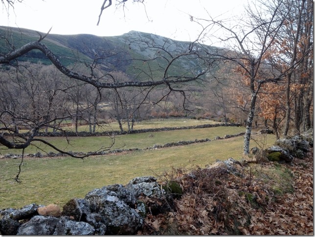
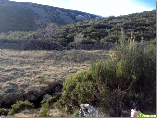
We are now on an unpaved track heading up through the valley, out of the village. We pass fields with stone walls to our left, and open barren land to the right. After 15 minutes we reach a vague junction. We can hear a bubbling stream to the right, but we head left through a field of uncultivated bushes.
We head into the main valley and can hear the river to our left. Unkempt fields are around us. The track proceeds straight ahead ending at stone wall with a rough wire string gate. The actual path is 20 m back up the path and very faint.
This is not a well travelled path. It is luckily the overall direction is so obvious.
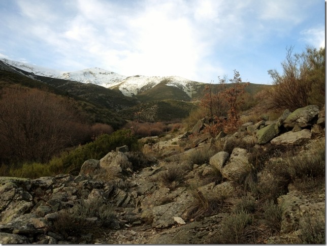
The path now becomes more obvious. We cross a stone wall. Adjacent to this a pole sticks out of the ground, with hay stacked around it, the local storage method. The path changes as you cross boulder field.
We are close to the river now and a rough canal follows the path, parallel to the river. Occasionally we have to cross the canal and wade through it. The summit is pretty much directly ahead of us.
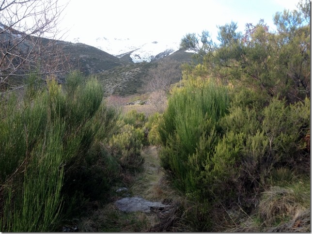
Eventually you cross the stream and another stone wall. A shallow shoulder is ahead of us covered in deep brush, this heads up towards the main ridge.
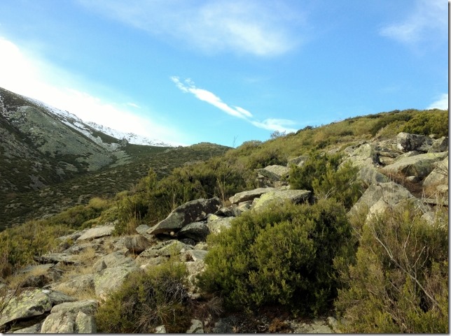
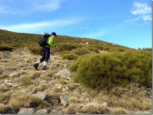
I hate this type of landscape. Pushing through vegetation is very tiring and difficult to navigate through. You spend a great deal of time going this way and that, following whatever goat and dear track you can find, but generally hoping you are pushing in the right direction.
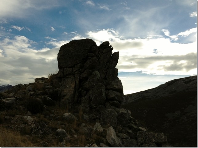
We gain height gradually, which becomes quicker as the shoulder steepens. We pass several outcrops of rock and head around them to the left. I think we go too far left, maybe an easier path could be found closer to the centre of the shoulder. We are now close to the top of the ridge.
At the top a small stone wall leads along towards the summit.
We are hoping the path is more obvious now. It is not, we continue to wade through brush.
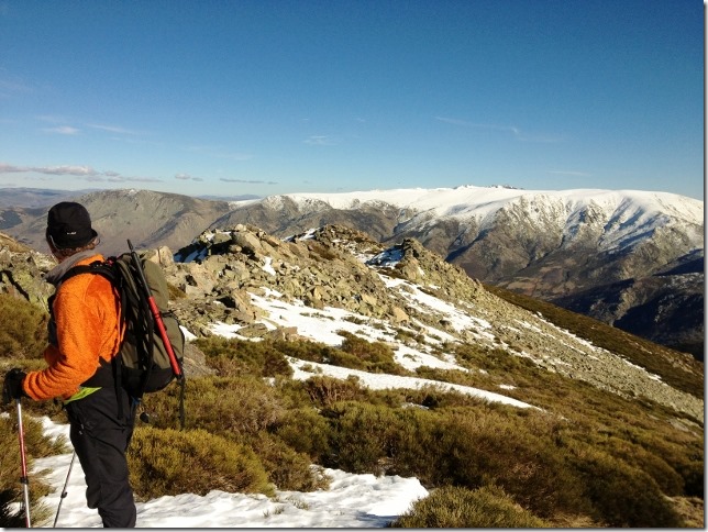
We are starting to encounter snow, layered on top of the brush. Some is compacted and firm, other collapses as you tread on it, leaving you waste deep in brush, It is exhausting.
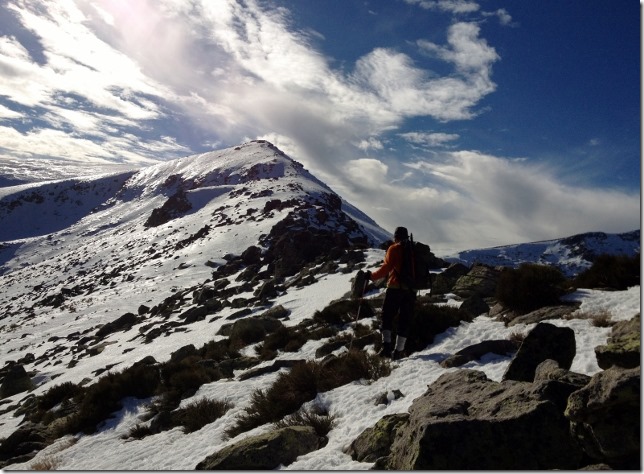
Gradually either the snow compacts and covers the brush, or the brush dissipates. The going is easier now. We stop to put on our crampons. We won’t need the ice axe though, it is not that steep and the poles will do.
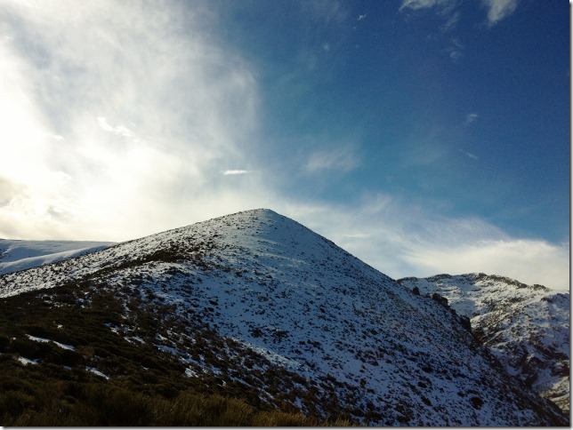
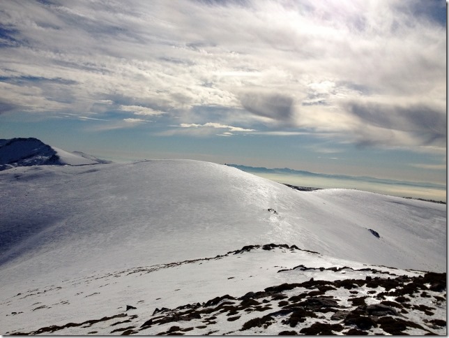
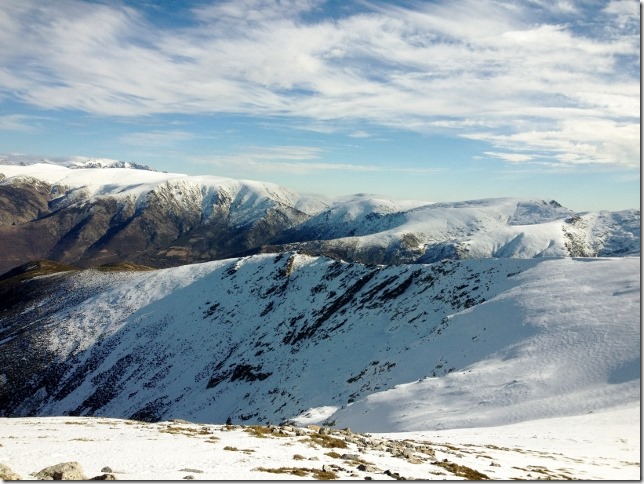
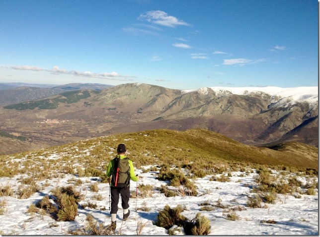
We head up to the first summit, we can now see our main objective El Pelado, within our reach. We plod on and after several false summits, where you head up thinking you are at the top only to find you have a bit further to go…. We get to the top, after 4 hours.
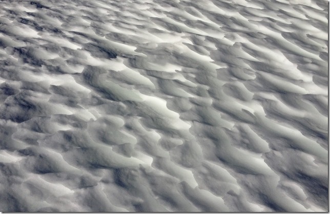
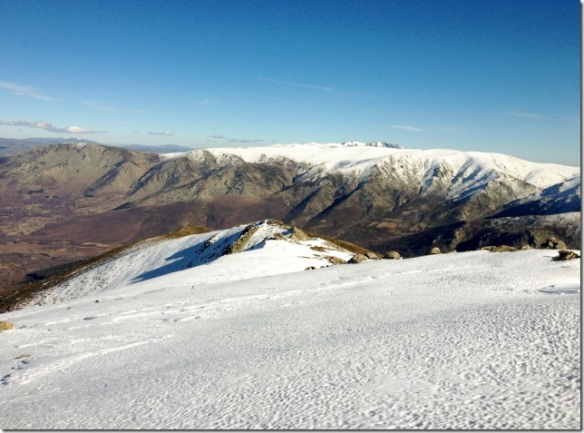
The patterns that the winds have made out on the snow look incredibly beautiful.
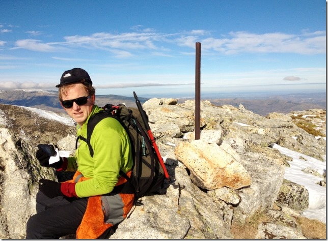
Finally the summit. Longer than expected. Walking on the bushes has slowed us down. That is precisely why you should always have at least a couple of hours contingency when you climb a peak. You never know what type of route you are going to come across. Even if you carry a very detailed description, which is not the case today.
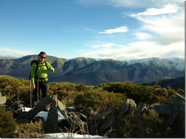
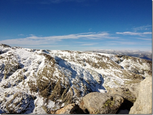
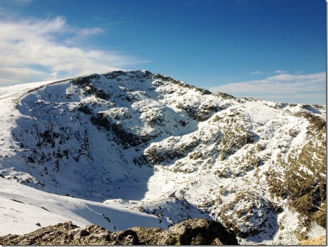
The views are incredibly beautiful. We took a couple of photos as well as a couple of deep breaths of satisfaction and content for the achievement.
We push onwards, down and up a shallow snow slope to another small summit, Pelado Bernardo where we have lunch.
For the second time today I have dropped my phone and have to head back to the summit to find it, wasting another half hours!
This is getting f…ing! frustrating!! SM
After a lunch of LIDL tortilla, fruit and biscuits we continue around the cirque. The snow here is compact, firm, easy and quick.
Looking back, we can appreciate the stunning views of ‘el Corral del Diablo’. At the bottom there is a frozen lake. We can spot dozen people walking around the lake.
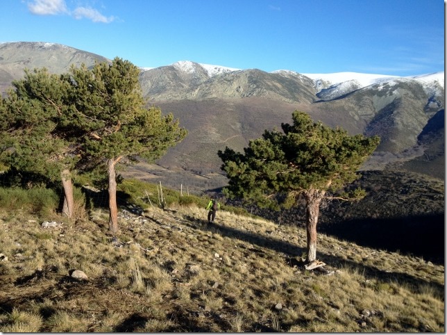
We head back to the village along Cumbre del Cuchillar and Cuerda Campillo always around the right hand side. Never, down to your left. Otherwise, you will go down big and dangerous boulders which will make you waste time.
As we loose height we are into slightly melting snow. The brush is more exposed and our feet are continuing to break through to the voids below. It is exhausting.
Gradually, however the snow gets thinner, and we are back into navigating through waste height brush.
In the distance, getting gradually closer, we see a pine forest plantation, which we eventually reach.
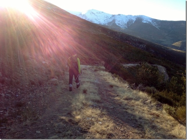
Rather than continuing through the brush we head through the broken fence to find a 4×4 track and head down it. It is shallow, sweeping in long switchbacks, but at least it is easier than the brush.
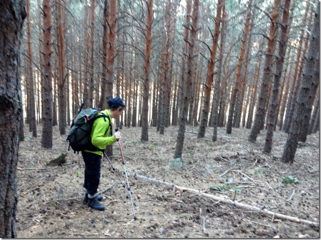
We get bored of the track, preferring instead to head directly down through the pine trees. It is steep, but there is very little undergrowth, so the going is easy and before long we are down level with the village.
We find a track back to the village, starting to see civilisation, people, cows and chickens.
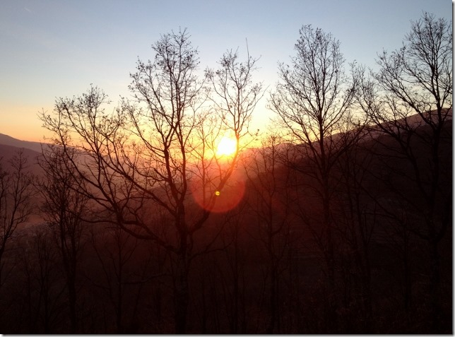
Back through the village. Dora is where we left her, we head off continuing up the Valle Jerte. Enjoying a beautiful sunset.
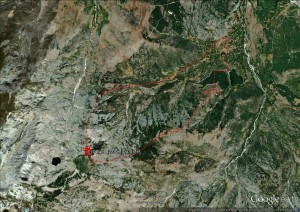
GDR & SM



Creo que las montañas os estaban echando de menos. Disfrutarlo
Mucho. Como disfrutamos ese dia!
Glad you are fully recovered the pair of you and back to doing what you love the most.
Absolutely! all the germs and viruses went as soon as we went back to the clean and fresh air of the mountain!