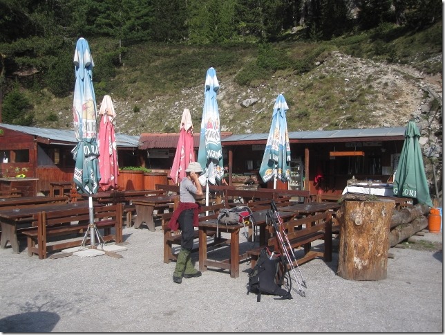
It is a beautiful morning here at the taverna. It feels already quite warm. Come one let’s get up and go!
We have done a bit of research about this hike but not much. We know that the highest peak, Vihren, is 2,914m and that we can walk there and back in about five hours. However, we don’t know what the conditions are like or whether it is possible to do a circular loop. Returning the same way back is pretty boring.
The taverna is open. We stop for a coffee, although we’ve already had one. It is always a good time to have a coffee. We have also discovered the taverna has a detailed map of the mountain. It looks like we can do a loop. The guy who runs the taverna advises that there is still lots of snow in Vihren and that it is certainly possible to do a circular route which ends up in the car park.
Better do Vihren first, it is easier.
Will do
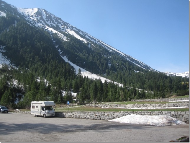
So after a double dose of caffeine, we pick up a brisk walk, leaving Dora behind pretty quickly. It is 9.00 am.
The walk actually starts at Vihren hut which is only 3 kms from the taverna. However, the road has not yet been cleared of snow. Shame, we could have saved on hours walk.
I have taken a snapshot of the map with my mobile but it is pretty shitty, as soon as you zoom in, you lose the details. However, the route should be well-marked. We only hope that the marks have not been covered or washed away by the snow.
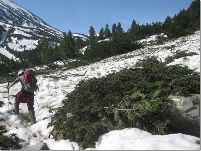
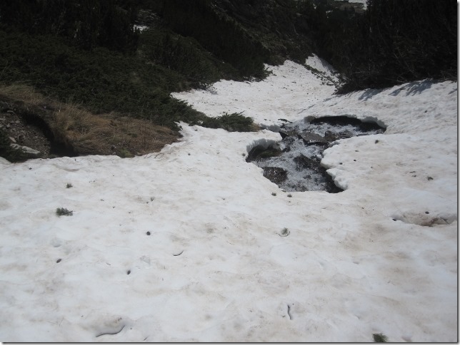
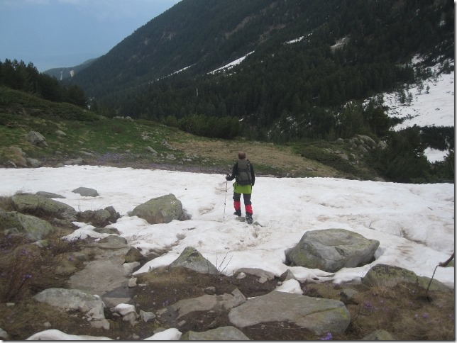
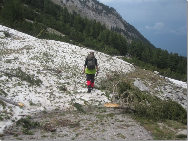
The snow starts to appear, very soft, very melted. We hope it is crispier and harder at a higher altitude.
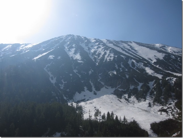
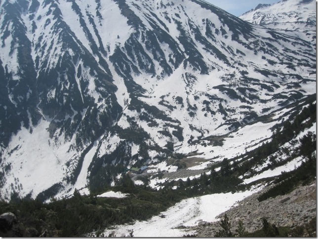
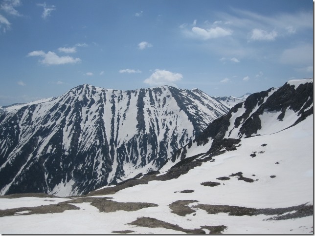
We take a breath and a photo. That ridge is actually one of the many ski stations in the Pirin mountains. It is hard to appreciate from here, but at the top of it, there is a cable car, sleeping until the winter season.
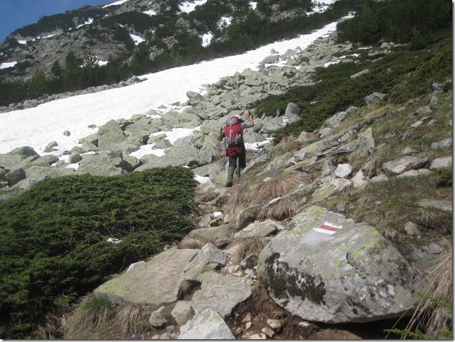
According to the guy down at the taverna, people climb this peak every day. However, we cannot see any footprints, as they melt in a few hours. Luckily, there are patches along the paths where the slashes marking the way are visible. Here is one, we now know for sure we are on the right path.
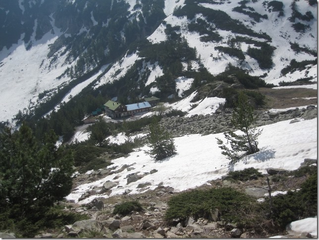
We get to the hut at 10.00 am. It is open, well just about. A lady is cleaning, washing and dusting, preparing it for the season.
Outside the hut, a few signs point the different treks you can undertake from here, but they are all written in Bulgarian. We follow a sign that says something like: Вихрен. We guess it means Vihren because the sign is pointing out north-east, because the estimated time indicates 3 hours, and because we seem to be getting used to the Bulgarian alphabet!
Gosh! In only twenty minutes we have come a long way from the hut!
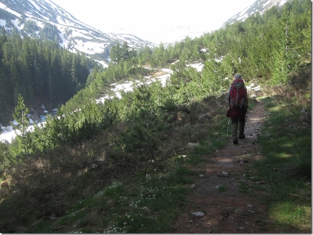
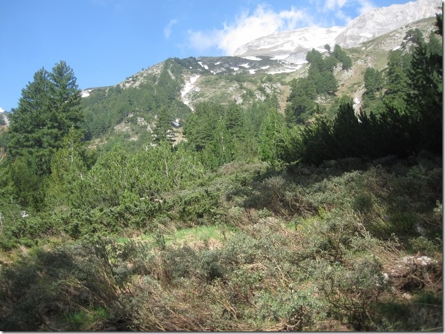
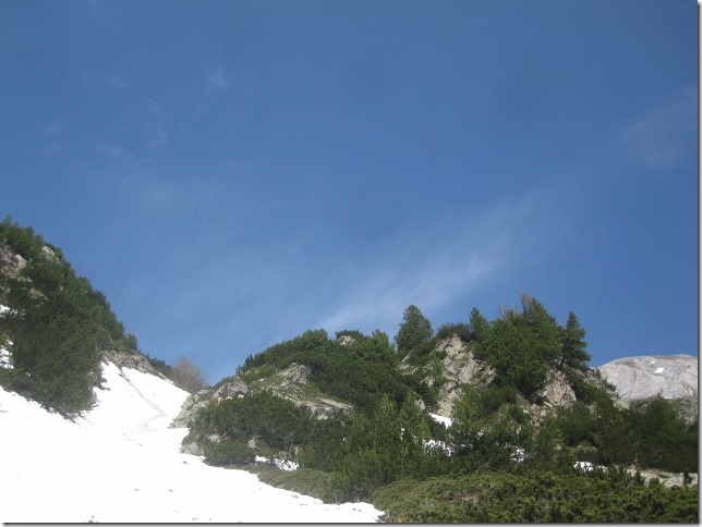
The path goes through the woods and traverses a dense shrub field.
We also continue to come across snow. We try to avoid stepping on it. It has melted so much, that sometimes, the snow is just a thin layer, with nothing underneath and, when you step on it, the layer of snow collapses under your feet, it is incredibly frustrating.
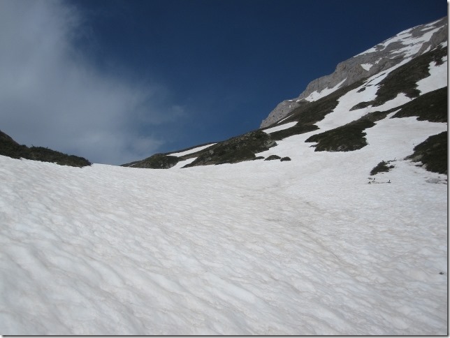
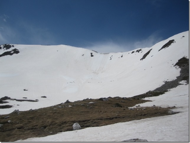
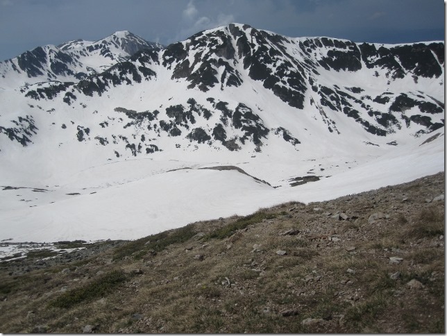
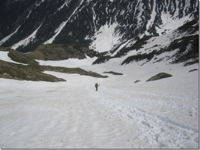
Finally we leave the woods. The valley is entirely covered in snow. No signs, no footprints. We decide to just go up.
We hope to see slashes soon. If not, there is a chance that the walk turns out to be one of those memorable ones where we ended up coming back in the dark. At least, today we are well prepared.
The map snapshot, my compass and a bit of sense of direction are enough to reassure us that we are heading in the right direction, but it is possible we are walking off-piste. The disadvantage of not following the right path is that we may be making the hike unnecessarily tough for us.
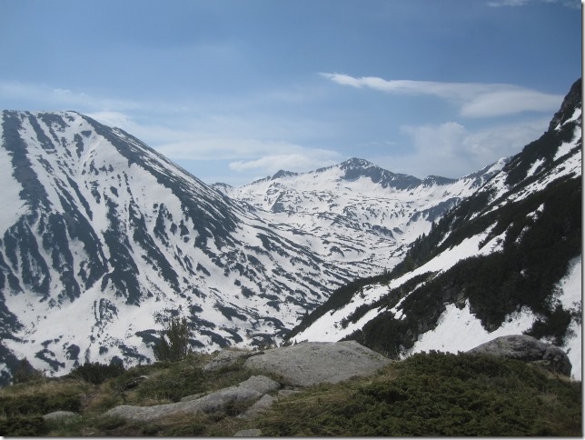
Pretty amazing, deep, steep valley on our left.
It must be 25 degrees. We are definitely over geared today: long jones, waterproof trousers, gaiters, long sleeve T-shirt…But as per previous experience, we have learnt that you can never be over prepared if things turn nasty in the mountains.
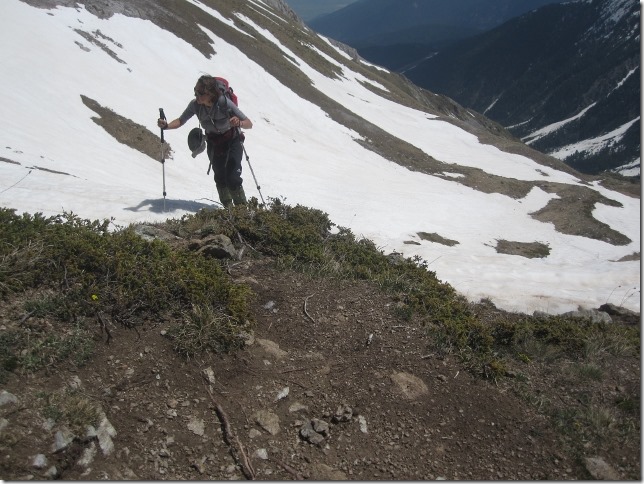
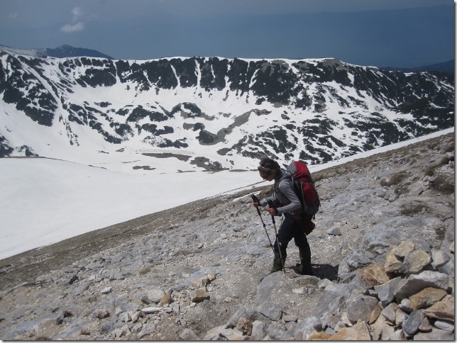
We are slowly gaining height. The slope is quite steep, the snow is not as crisp at this altitude as we expected. My breathing is getting heavy, I am trying to catch as much air as possible to feed my speedy and pumpy heart. This is unusual, I normally cope well with going up at altitude. I have been able to develop good stamina over the years. What is wrong with me?
Gary reads the situation, he shouts at me from behind. We stop.
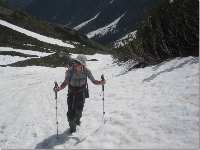
Let me show you something. Look at my feet. This slope is very steep, you need to change the way you walk.
Stick the toes of your boots into the snow, quite aggressively and keep your feet flat. It has to feel you are going up on very narrow stepladder step.
I try, gosh this is so much easy! I speed up, thank you baby!
We soon get to the top of the ridge where…
…we see a slash, the first one in an hour. We are back on track.
We leave the deep valley behind us.
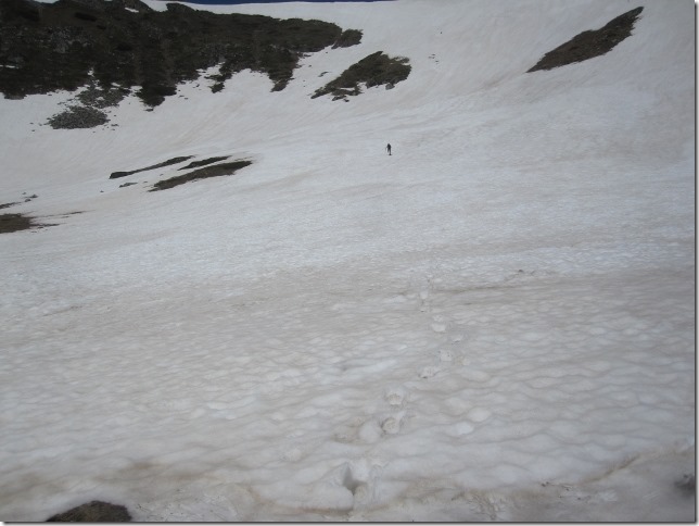
In the distance, we make out someone going up to the peak too. He looks like an ant from here.
He is walking directly up the snow slope, taking a shortcut. He catches us up pretty quickly. I can see him now closer. Ok, what is he wearing?
Are they shorts? No, they are too short for being shorts. He is wearing pants! Ok it is quite hot, but he has been too extreme. I am sure between his pants and the infinite amounts of layers we are wearing, there is something in between.
The path turns up steeper and continues like this for about 20 metres until it ends on the top of a second ridge. We have lost the guy but we have his footprints to follow. It is so much easier to use someone else’s footprints in these conditions.
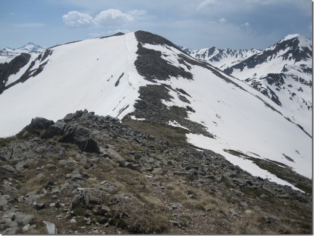
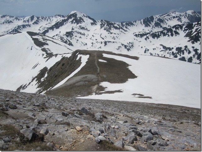
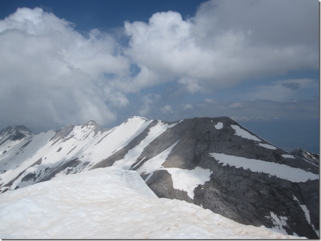
The ridge is almost uncovered by snow. The slashes appear thick and fast, it is now very easy to follow the path. We are now heading north.
We see the guy in the distance, gosh he is walking fast! He has put his long trousers on. He probably felt quite embarrassed. “Not expecting people around today?”
A new valley appears on our right, pretty intimidating too.
We are about to start the climb to the peak. The sign indicates: “Peak Vihren, 40 minutes”. We are nearly there!
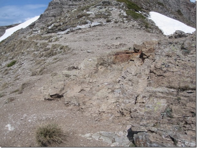
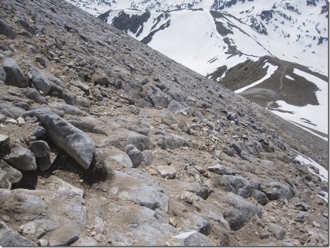
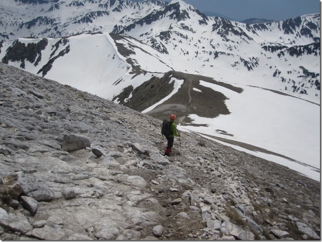
The path to the summit is now rocky but very steep. We use our zigzagging technique to make it more bearable.
This is quite tough. I hear Gary saying. Ok, it is not only me who thinks so.
However, looking back, we have come a long way up the ridge in only twenty minutes.
Although looking up, it looks like we are still more than half way from the summit.
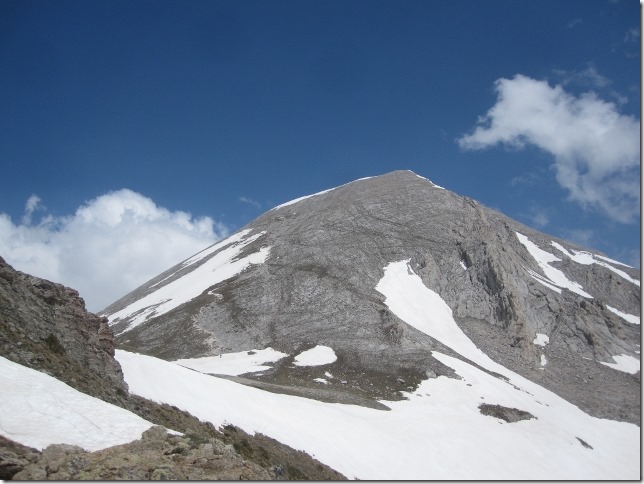
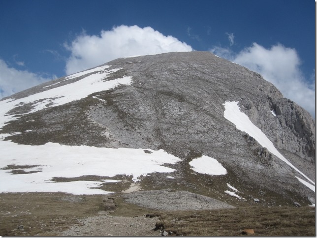
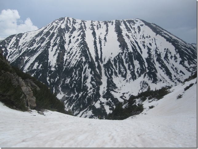
And there it is, Vihren, pretty ugly mountain if you ask me.
Bloody hell! Are we nearly there?
To give you an idea of the steepness and the awkwardness of the rocky path.
After 45 minutes we reach the top, only 5 minutes longer than the estimated time. Not bad.
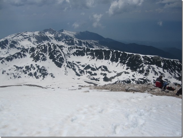
The summit is quite crowded, the guy and a young couple are also here. This is like Victoria station in London!
The young couple approach us. They are from the Czech Republic and they have been doing a three days ridge walk starting from the north side of the Pirins mountains. We have a chat about what we have been doing.
The other guy, is sitting on the snow, looking at the distance. He must be sixty but he bloody walks as if he was twenty. Not that I have an issue about it, though.
He may be fit but he is pretty unfriendly, sitting there, on his own, not talking to anyone.
Maybe he can’t. Don’t forget we are in Bulgaria, people don’t have to speak English here, they have their own language. Gary reminds me ironically.
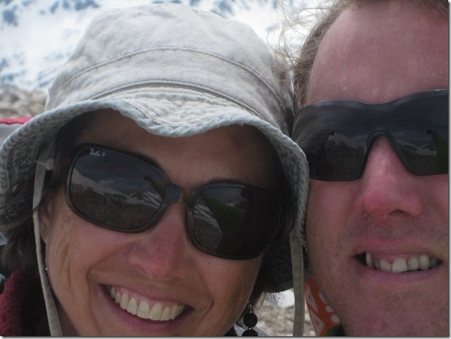
We sit to have lunch. In the meantime, everyone else leaves. We suddenly remember we haven’t asked them to take the mandatory summit photo of the two of us, so we have no choice but taking a selfie.
A bit close! Maybe with a bit more experience…
Don’t even think about it.
So, are we taking a circular route? Let’s have a go. The path seems to go along the ridge for a while before turning right.
However, before we start, we hesitate. The path is half a metre wide and only deep abysses lie on each of our side. The young couple’s footprints remain fresh, so we could potentially use them. But walking down on a narrow ridge, covered in soft snow, even using fresh footprints is not that easy. If we were going up it would be a different story. A bad step and you have no chance.
So we turn back the way we came.
The steep path going down is much quicker as you can imagine. Twenty minutes and we are back onto our ridge.
We go down straight on the snow slope, it is fun and quick.
Gary is in the adventure mood. The slope may take us all the way down to the hut. Should we try?
OK, the disadvantage is that we may end up facing a cliff, and turning back will be pretty tiring and annoying.
He leads. After fifteen minutes, I stop. From where I am, things are not looking good. We fear the slope may stop soon. I express my fears to him. He is not sure either, so he turns back, pretty annoyed of having to climb up all the way to where I am. He was quite far ahead.
We return back to the path. It is safer.
We later cross the gully where we were before, just much lower down.
We would have been all right.
Yes, we would have, sorry. But I didn’t want to risk it.
Walking down the path through the woods is taking ages.
At 17.00 and we get to the hut. We are only 3 kms away from Dora. We decide to walk back on the road this time.
Jesus! they have lots of clearance to do and they probably only have a couple of weeks before the season starts. Good luck!
Nice day out, although pretty exhausting.
We pack up Dora and drive off.
SM



Una subida mala de las muchas que hacéis , tanto sufrimiento para ver esa montaña tan fea.
Como dice el refrán : Nunca te acostaras sin saber una cosa más, me refiero a la manera de apoyar los pies para cansarte menos.
Un trekking siempre merece la pena. Aunque la montanya sea fea