La Mira is the peak just above the village of our second home, Guisando. Although you cannot quite see it from the house you can sense its presence.
And although it is so local, we have only climbed it once before, but in summer. It has been over ten years since we ticked it off the first time. A winter ascent is due.
For this post we thought we might change the format a bit. Perhaps we want to inspire you to put on a pair a boots and follow in our footsteps. It is not that bad, not that far. It might seem like quite an effort, but the rewards are great. The exercise, the freedom, the time to think, the nature, the silence, the noise, the views and the satisfaction, the achievement. What more could you want in a day?
So this post is in the style of;
A trekking book, a description of the route so that you might follow our trail.
So there are a few things you need to know, a few things you would need to take, and a few things to check.
The day we climbed La Mira was a clear winter day, no cloud and was reasonable warm.
What we too;
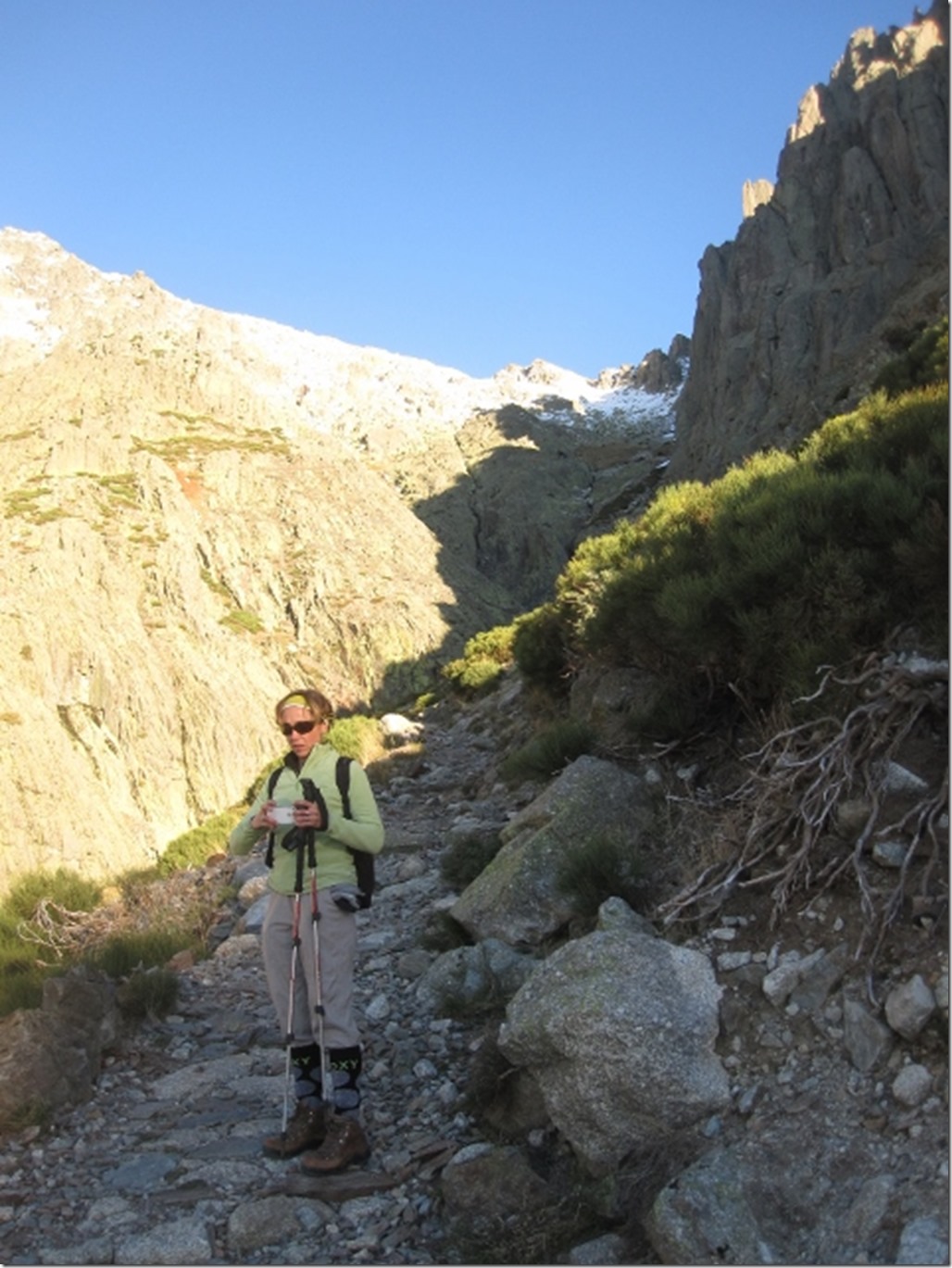
Two rucksacks containing- A first aid kit, an emergency blanket, crampons, ice axes, spare fleeces, waterproofs; trousers and jackets, two three litre water pouches, lunch, suntan lotion, mobile phone, camera, money and keys.
What we were wearing;
Lots of layers, mainly synthetic clothes, gloves, hats, sun glasses, thin socks, thick socks, walking boots and walking poles.
You need to check the weather and tell people where you are going. You need to leave at an appropriate time, ensure you return in daylight, with a bit of time to spare.
We give a range of times. It is important that you assess your speed. If we are saying it has taken 20-27 minutes to reach the edge of woods, and you take 15 or 35, then you need to adjust accordingly. Time is important in the mountains, not distance. A normal walking pace might be 4-6 kilometres (3-4 miles) per hour when on a flat paved road, but in the mountains, when steep, you might only do 1-2 km per hour. It is the time that will get you back in daylight!
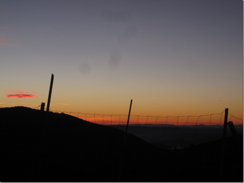
We started out at 9.00am, parking Dora in the car park.
0 mins
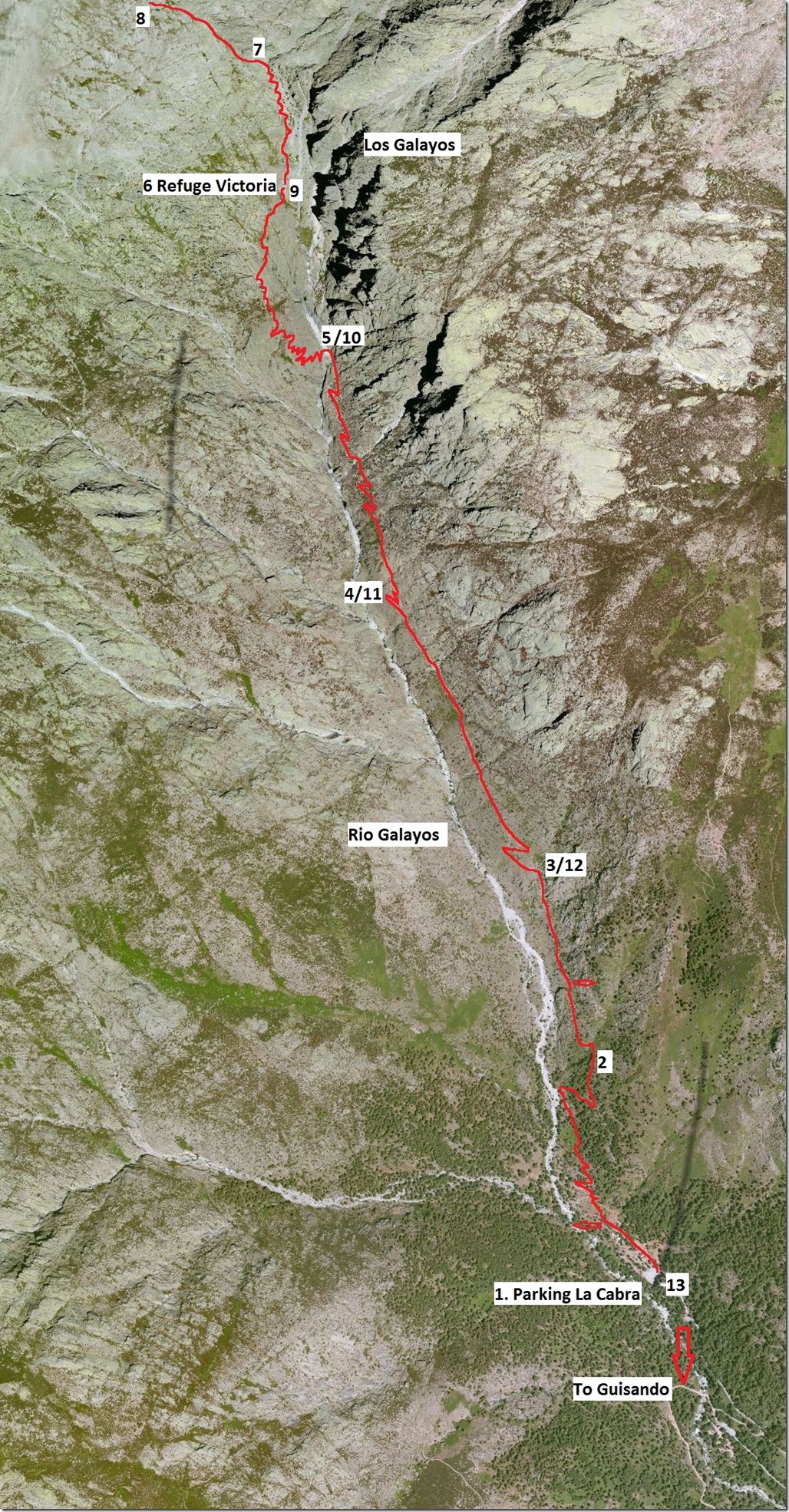
Number 1 – The Car Park
There is a sculpture of a Cabra (goat) sculpture in the centre of the car park, these are endemic to the area and hopefully we will see these further up the mountain. There are several signs showing the route. The times on the signs are contradictory and should be ignored. Flora and fauna are also indicated on the signs.
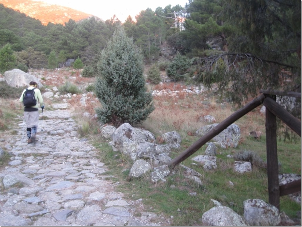
Head up the valley on a well constructed stone path. You will immediately pass a refuge which is rarely open. A small restaurant or kiosk is 100m further which serves good traditional food when open, mainly in summer. There are also toilets available here. These are the last toilets available on the walk.
Several hundred metres further up and there is a path to left. This leads to some reconstructed old shepherds hut and goat pens, a further ten minutes from the main path. A small river will need to be crossed. Care will be needed when this is in full flow and after rainfall.
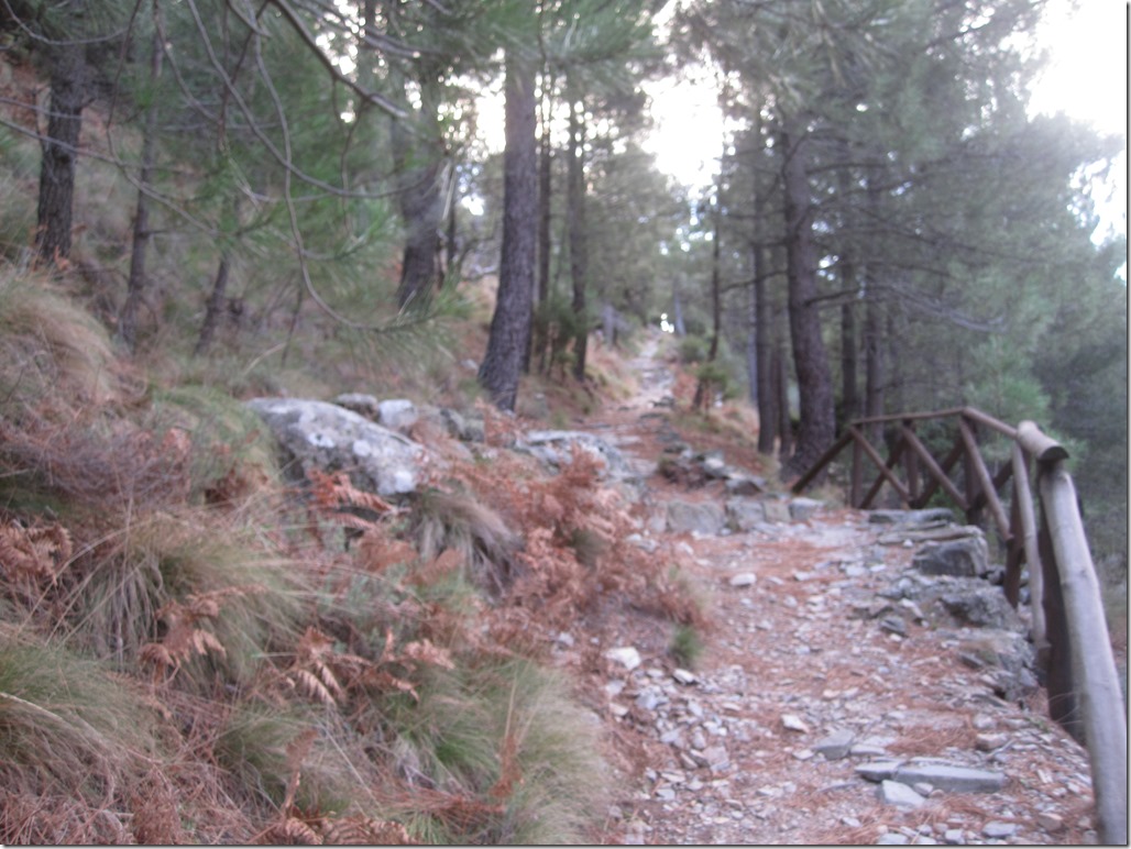
The made path becomes more broken, with loose stones. Continue heading up through pine forest. There are several switchbacks as you gain height and you rise above the river.
20-27 mins
Number 2 – Out of the woods
You leave the pine trees behind you. A narrow path continues to wind its way up the valley. A few metres after you exit the woods you cross a small stream which cascades from the right. The rio (river) Galayos is in the valley below.
The path heads up the valley slowly gaining height, sometimes you are up to 50m plus above the river.
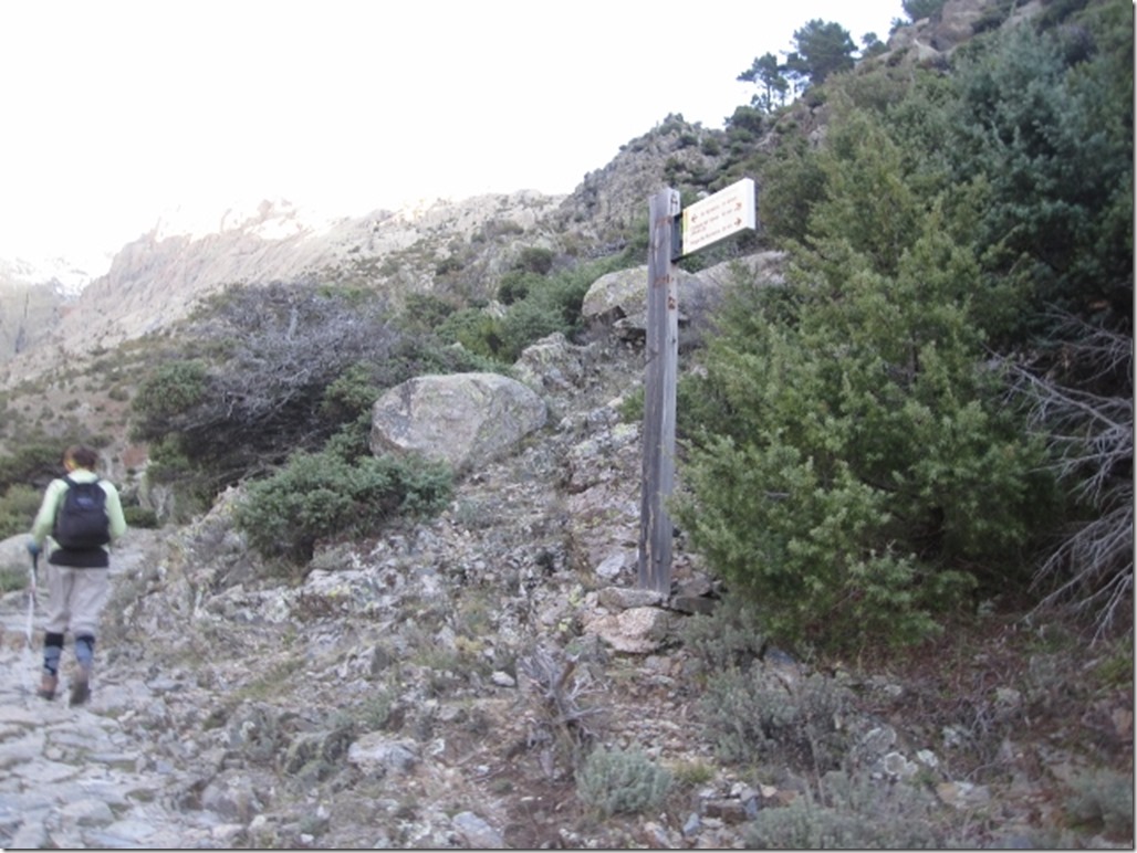
Shortly after you pass a junction. The path off to the right heads steeply up the valley wall towards El Barranco, the rocky dome above Guisando. A nice short excursion, for another day.
40-54 mins
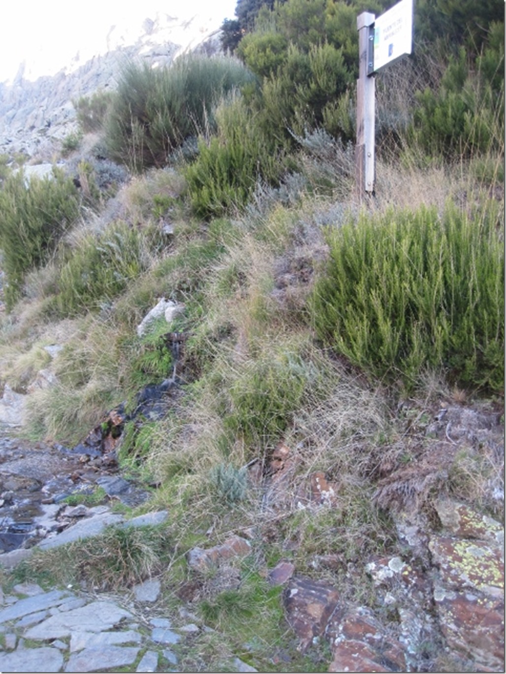
Number 3 – First Fuente Amanecer (spring)
A small spring is to your right. You might get to see your first goats around here. Cabra de Sierra de Gredos, they are reasonably inquisitive and usually in small herds, females, young and a single dominant male. area.
1 hr-1hr 20 mins
Number 4 – Second Fuente Macario
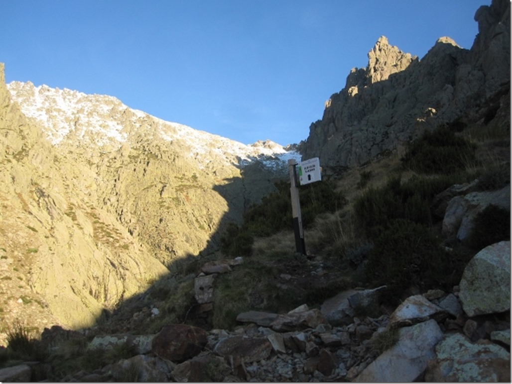
Switchbacks along path allow you to gain height as river heads up the valley. Several waterfalls can be seen below, cascading into rocky pools.
Shortly afterwards you will see the first sight or refuge, hanging from the rocks above. Also you can see the path winding up the opposite side of the valley.
1 hr 15 mins-1 hr 35 mins
Number 5 – River crossing
Cross the river and head up many switchbacks now on the other side of the valley. A path does head directly up the valley, this is much steeper and mainly used by climbers.
Path continues, sometimes care needed, follow cairns (small piles of rocks), hands may be needed up steeper areas, these sections are short. Cross several streams before heading back towards the main valley and eventually the refuge reveals itself.
2 hrs-2 hrs 40 mins
Number 6 – Refuge Victory 1995m high
Very basic accommodation used mainly by climbers on the adjacent Galayos rocks. Sleeping on a loft platform for about 10. There are no toilet facilities here. For us this was the start of the snow line, although there had been several patches leading up to the hut.
Continue up valley, steep now, gaining height. Bare towards the left at the top, following more cairns.
3 hrs- 3hrs 45 mins
Number 7 – The ridge
The landscape opens up. There are views back south into the valley with Arenas San Pedro below, Guisando is not visible hidden behind the ridge. El Arenal and El Hornillo are visible towards the south east. Towards the north many villages visible within the Navarredonda valley. La Mira summit is visible towards the west. Easy shallow paths lead towards the summit. Follow more cairns.
3hr 20 mins- 4 hrs
Number 8 – Summit (2343m)
A round stone plinth needs to be ascended for the obligatory summit photograph. There are good views all around. The Almanzor cirque, the highest peak in Gredos, is visible towards the west.
The return
Options on return include;
Returning around the back of the Galayos pinnacles via Las Berroqueras and descending via Nogal del Barranco.
Back along the ridge via Risco del Chocarron and returning via Pta de la Calguera.
0 minute
Return same route, following cairns.
50 mins- 1h 2 mins
Number 9
Refuge Victory.
1hr 25mins- 1hr 47 mins
Number 10
Cross river.
1hr 45mins- 2 hrs 10 mins
Number 11
Fuente Macario.
2hr- 2 hrs 40 mins
Number 12
Fuente Amanecer.
2hr 15mins- 3 hrs
Fuente 13
Back into forest.
2hr 30mins- 3 hrs 5 mins
Fuente 14
Return to car park.
Total time
5 hrs 50 mins- 7 hrs 5 mins
GDR



Me parece estupendo lo has descrito , sirve de información aquellos que estén pensando en realizar la subida, y aquellos que como una servidora tenga que quedarse a 200 metros del aparcamiento de la
Creo que lo has descrito muy bien, sirve de información para los que estén pensando en realizar la subida, y para aquellos que como una servidora, solamente suba como mucho 200 metros desde el aparcamiento de la “cabra”, sera la única manera saber algo sobre la sierra de Guisando.
Bravo por vosotros!!!!!!!!!!!!
te tienes que animar a venirte ya que te gusta tanto andar.
Chata!
Como is va por la patria?
Que envidia me dais. Nosotros now quedamos aqui otras Navidades….
Vamos bien. Te echamos de menos por aqui. Pasa una muy feliz navidad!